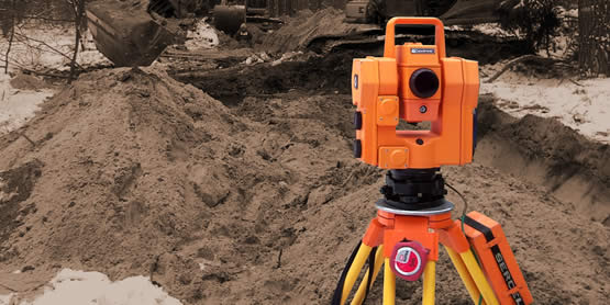
 With this approach quite quickly it became clear that the needs of our clients are wider than geodesy, even with cartography taken together, can satisfy. As the investments of our clients are not only, even widely-understood, constructions and buildings. Based on our previous experience we fairly quickly started to meet the needs of our customers in the mining and geological-exploratory industry. Thus, mining surveying for open-pit mining plants became our additional specialisation. Today we offer a full and comprehensive scope of surveying services to our clients. It is very often so that our cooperation in this area begins at the stage of concept and exploration of raw materials, through designs, projects and initiation and ends at the stage of surveying supervision of mining plants being in operation.
 Meeting the expectations of our clients does not stand for opening to their needs only. It also means “keeping abreast” with the modern technology. Our motto is “we measure, because … we like it”. In order to make ever day of work enjoyable we need good tools. The tools which are proven, steadfast, reliable, precise and modern. Hence our fascination with modern technologies in our profession. We applied new technologies such as satellite measurements and surveys at the time of establishment of our company. Today this technology is no longer unusual, but the experience gained then gives us a competitive advantage. Our experience and ability to perform all kinds of measurements, not only these which require less equipment or necessarily broad knowledge, make the advantage.
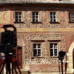 The modern technologies, in our understanding, are not only more and more technologically advanced equipment. It is also openness to other areas which are related and similar. And it is to make the data acquisition and processing even easier, faster, fuller and more objective. While seeking the solutions which would cope with the expectations of our clients, sooner or later photogrammetry has had to be found in our offer. After the initial period of our fascination, today the photogrammetry in our company is a “fully- fledged” data acquisition technology. In this manner our openness to other areas where our clients need accurate and modern-developed spatial data which are often impossible to obtain by other methods.
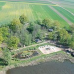 Photograms which are pictures taken with an appropriate camera in an appropriate manner are the basis of these photogrammetric studies. Not always pictures which are taken from the ground meet our clients’ needs in terms of information. Not always our clients need photograms. Sometimes they need “bird’s eye view” pictures. So aerial photography is another area which we specialise in. Thanks to photogrammetry we have got the equipment and experience to take pictures from the air. We take them both from access platforms, photogrammetric balloons, hired planes… It can be said that we can take them with any device which will lift our operator at an appropriate height. It is not always so that a camera must be accompanied by a camera operator. For example, in our photogrammetric balloon taking pictures is controlled from the ground.
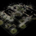
 Constantly searching for more efficient measuring techniques, it came naturally that we got interested in the possibilities offered by 3D laser scanning. This is the technology thanks to which at one second, remotely, we make measurements and surveys of the position of hundreds of thousands of points which are surprisingly accurate as for the speed. It works within the areas where time and precision count in inventory works. Non-invasiveness, objectivity and completeness is an additional advantage of this technology. In conjunction with our specialised software it allows for visualisation of scanned objects but also for advanced analyses such as designing in reliably reflected virtual reality with automatic collision detection, quality control of made components and works as well as automated 3D modelling.
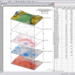
 This is not only the information acquisition and processing expected by our clients from us. They also need appropriate visualisation. The area has been long dealt with by cartography. With the development of IT, cartography, after the period of numeric cartography, has evolved into the new area of Geographical Information Systems. They are nothing but computer systems storing data relating to the space we live in. Thus by offering these services to our clients we end up the whole process of information acquisition, processing and making it available. If, we add development and preparation of analyses and equip it with collection of even a large number of spatial information, we enter the operational range of modern science and technology called geo-informatics.
We live in the 21st century. Our society is said to be the “information society”. Information has become a special intangible asset, equivalent or sometimes even more valuable than material possessions. We collect, process, gather, analyse the information relating to the space for you and make it available in the format expected by you…
We invite you to cooperation.
WROGEO – we measure, because … we like it


